![]()

Monte Nerone
| webcam Monte nerone |
|
Monte
Nerone is one of
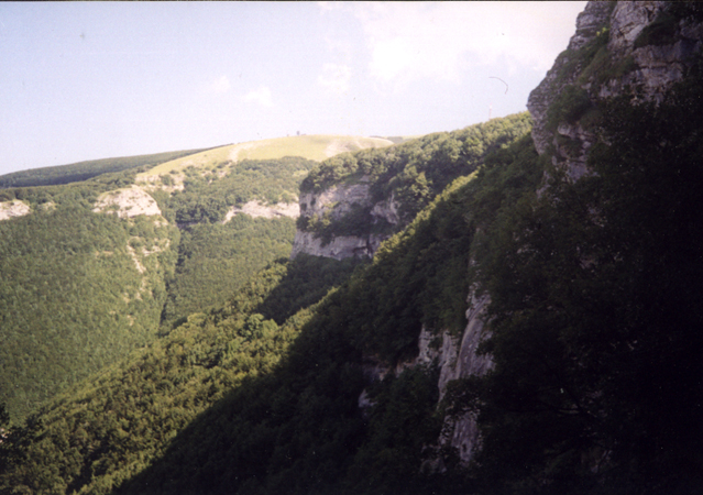
the highest peaks of the Umbrian-Marche Apennine chain of mountains,
situated in the commune of Apecchio, Cagli, and Piobbico, in the
province of Pesaro and Urbino. Its peak reaches 1525 metres above
sea level. The difference in level of 1200 m, between the crags
where the villages are and the summit displays a variety of
vegetation and countryside, both ample and interesting.
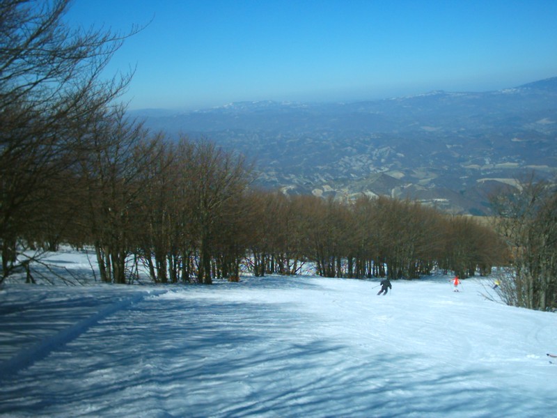
At the top there are two eating places and ski lifts: the
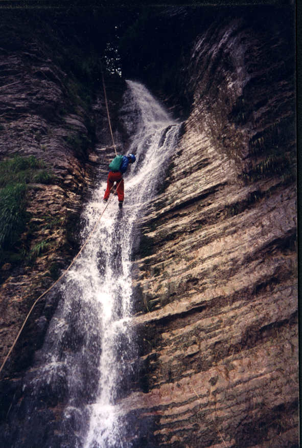
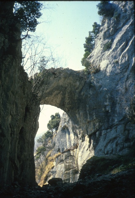
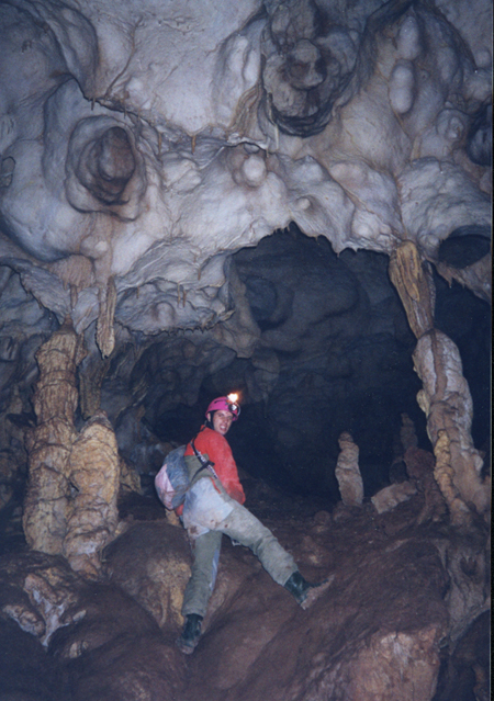
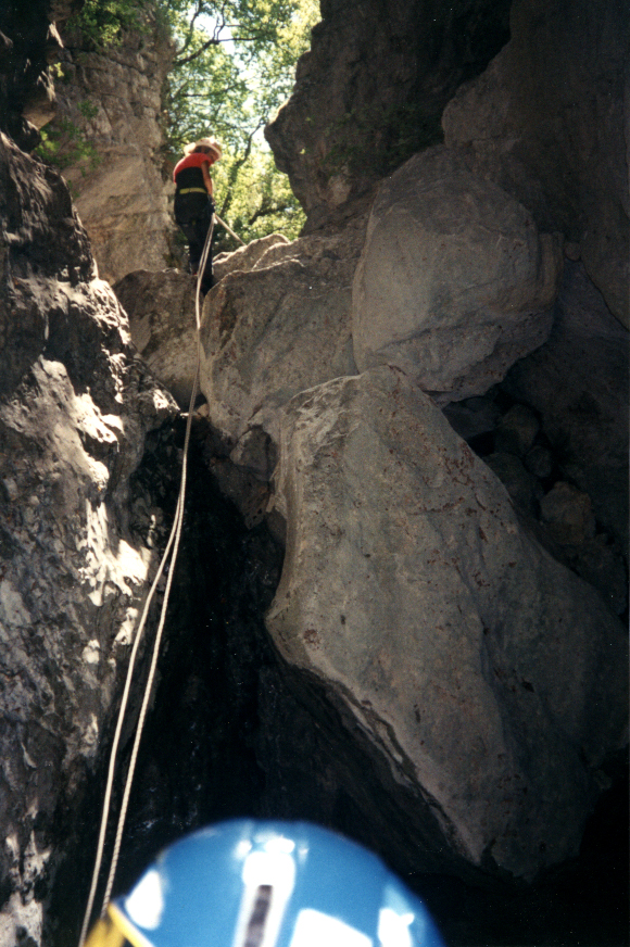
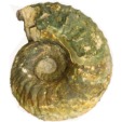
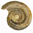
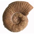
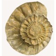
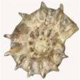
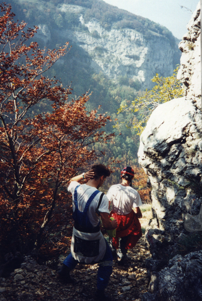
summit is garrisoned by RAI structures. For lovers of sports connected with nature, Monte Nerone also offers the possibility of following numerous mountain paths suitable for trekking, fantastic rock climbing routes for all levels in the natural gymnasium of Fondarca and Fosso dellEremo; ideal routes for mountain biking, ample spaces for paragliding: visits to caves for speleologists and to the fossil museum of Monte Nerone at the Palazzo Brancaleoni. |
 |
 |
|
The first settlements of which there are remains, date to the late Neolithic Age (VI century B.C.) thanks to the findings of burial grounds and objects for domestic use. Subsequently the Italics, Piceni and Etruscans, left their imprints as the local names bear witness. During works being carried out a statue of Mars was discovered that confirms the existence of a Loca Sacra, a temple dedicated to him. The Romans also made their mark on the territory with traces downstream (like at Piobbico) of paving, lead plumbing, etc. From the eighth century the monasteries began to take a hold with the Benedictines, Camaldolese and female places of retreat. After the year 1000, power passed to noble families, who began to construct forts, castles and towers still visible today in the underlying villages and on the sides of the mountain. |
 |
|
|
||||||||||||||||

|
|
|
|
|
|
|
|
|
|
|
|
|
|
|
|


| Perbacco
- Apartments for holidays Piobbico (Pesaro-Urbino) Tel. (+39) 349 0963150 - 347 1576086- tel/fax 0722 986445 E-mail: info@perbaccochevacanze.it |
 |